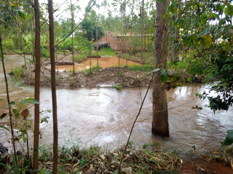
We provide microclimate weather forecasts that power hyperlocal early warnings, climate-smart agriculture, and smart forests.
Current forecasts rely on coarse satellite data that miss microclimates, lack local context, and fail to build trust. The result is low participation in early warnings, poor agricultural decisions, and unpreparedness for climate shocks.
High-level warning systems tend to address just one climate risk, leaving communities exposed to other related risks.
Flooding
Drought
Extreme Heat
Wildfire
Air Pollution
A complete, self-contained system for hyperlocal climate data and early warnings in remote, resource-constrained communities. One Constellia device powers a complete MHEWS, from early detection to early warnings to targeted risk evaluation and guidance.
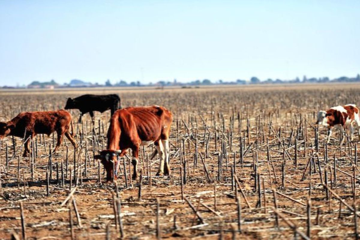
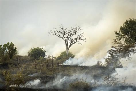
Hyperlocal data drives more than early warnings. Site-specific forecasts power targeted and tangible guidance on how to mitigate climate risks affecting each microclimate.
Our vulnerability-aware platform ensures risk thresholds and mitigation guidance is aligned with community capabilities. This approach increases participation and sustainability.
Low-power devices with solar charging, GPS, LoRa (15+ km), WiFi and customizable sensors. Built for difficult-to-reach remote areas.
Data fusion combining local sensor data with satellite data. AI forecasts are 65% more accurate than satellite alone.
Vulnerability-aware alerts tailored to each community's exposure, demographics, and needs.
We train local technicians to deploy and maintain devices, creating technical jobs and long-term ownership.